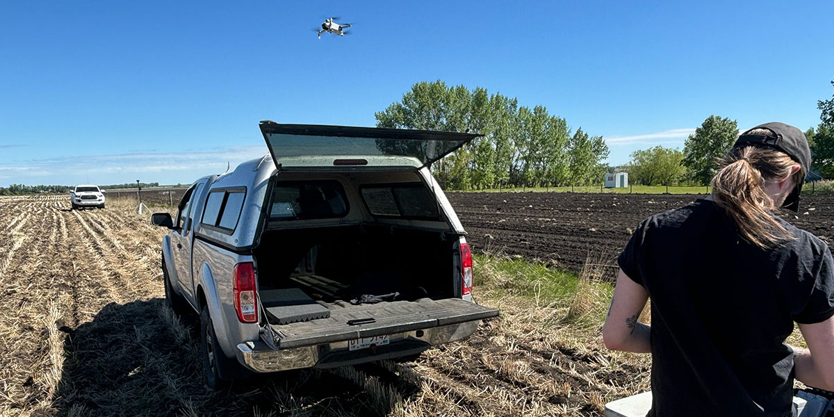
Olds College Centre for Innovation (OCCI) along with Threshold UAV will be flying multiple drones at the same time (swarm drones) on the Olds College Smart Farm to locate rocks. The processed drone data will be used to create a rock map of the field. OCCI will verify the rock map created via field scouting to validate the use of swarm drones for rock mapping.
Rocks from cultivated fields can cause damage to farm equipment like combines and forage harvesters. A large number of producers pick rocks from their fields to mitigate equipment damage, but this process can be time consuming and rocks might be missed.
Project Goals
Funders/Partners: Threshold UAV Inc., IRAP CTO