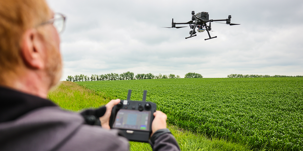
Olds College Centre for Innovation (OCCI) partnered with Ember Resources Inc. on a multi-year project to determine if remote sensing technologies could be used for the vegetation assessment component of a Detailed Site Assessment (DSA). A DSA is required to confirm the reclamation of oil and gas sites on cultivated cropland. OCCI, Ember and CNRL are continuing the project with a focus on drone flights and high resolution satellite imagery during the standard DSA window (between heading/podding and harvest).
Objectives of this project are to: (1) research the pass/fail criteria for vegetation assessment using multispectral imagery for purposes of satisfying DSA requirements, and (2) compare drone and satellite imagery results to ground assessment results for vegetation assessment results. Remote sensing could expedite the vegetation assessment portion of the reclamation process to allow for more DSAs to be performed in a growing season.
Funders/Partners: Ember Resources Inc., Canadian Natural Resources, NSERC