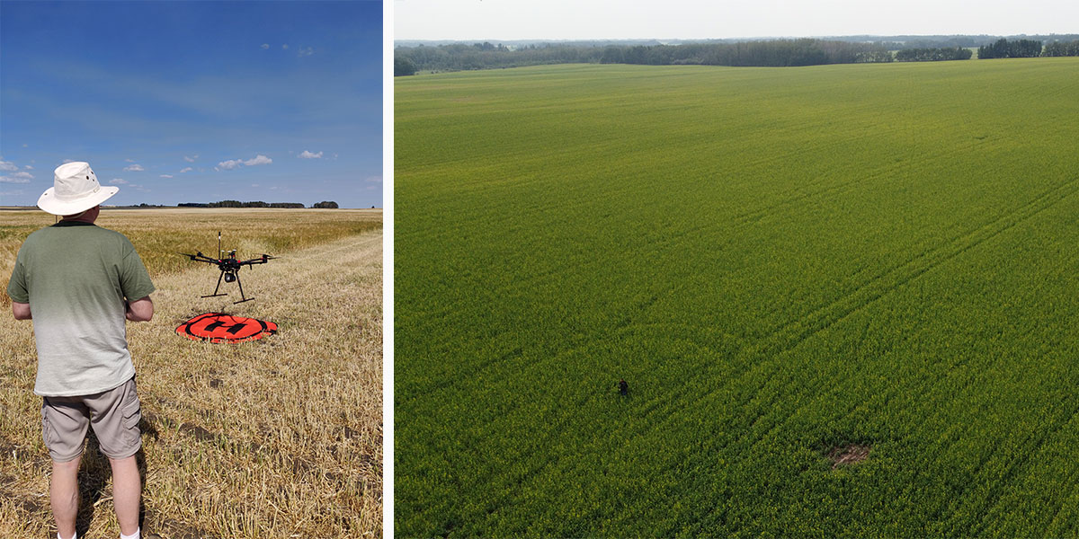
Olds College and Agriculture Financial Services Corporation (AFSC) are continuing their work together to determine if high definition imaging from unmanned aircraft vehicles (drones) can be used to classify hail damaged areas within crop fields. Researchers will gather imagery using drones of annual crops that have been naturally damaged by significant hailstorms, and create a database of hail damaged crops imagery. This research will further identify if and which types of imagery and corresponding analysis can be used by AFSC to assist in the crop adjustment process.
Funders/Partners: AFSC
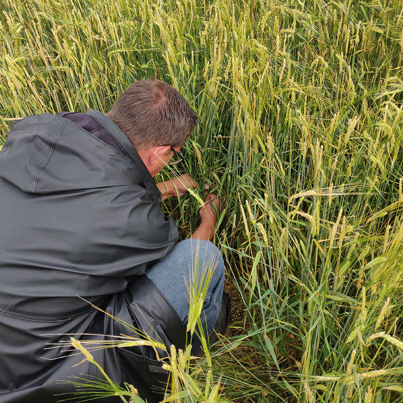
RGB drone imagery was beneficial to the scouters.
Satellite imagery is highly dependent on environmental conditions.
Differences in hail severity couldn't be visually distinguished using high resolution RGB drone imagery.

Determining the feasibility of using drone imagery to classify hail damage within a field:
Red edge band of multispectral imagery seems to clearly distinguish all damaged areas of a field.
GIS tools quickly calculated the area of the damage within a field once the classification is completed.

Exploring if drone imagery can be used as a tool to classify hail damaged versus undamaged areas within a crop.
Initial results of this proof of concept are encouraging; more study is recommended.